Polar Vortex Brings Extreme Cold and Snow Across the U.S. \ Newslooks \ Washington DC \ Mary Sidiqi \ Evening Edition \ A blast of Arctic air will impact much of the U.S. in the coming days, with extreme cold in the Northern Plains and rare snow and ice in the Gulf Coast region. Temperatures in some areas could drop to dangerous lows, with wind chills of minus 40°F in parts of the Dakotas and Minnesota. The Mid-Atlantic and Northeast will also face snow and frigid conditions, prompting event cancellations and emergency measures.

U.S. Winter Weather Blast: Quick Looks
- Arctic Cold in the North: Wind chills as low as minus 40°F in the Dakotas and Minnesota.
- Rare Gulf Coast Snow: Snow, sleet, and freezing rain expected from Texas to northern Florida.
- Mid-Atlantic Snowfall: Heavy snow, up to 8 inches, to hit New York City and New England.
- Travel Disruptions: Hazardous road conditions and airport delays anticipated across affected regions.
- Emergency Measures: Louisiana and Connecticut issue warnings and activate cold weather protocols.
Deep Look
The United States is bracing for an intense blast of Arctic air that will bring extreme cold, snow, and ice to vast portions of the country over the next several days. This winter storm system, driven by a disruption in the polar vortex, is expected to create hazardous conditions across the Northern Plains, Gulf Coast, and the Mid-Atlantic and Northeast regions. Millions of Americans will be impacted, with life-threatening cold in the north, rare winter weather in the south, and snowstorms in the east.
Local governments, emergency services, and federal agencies are working to prepare residents for the storm’s far-reaching effects, which will include travel disruptions, dangerous road conditions, and increased risks to vulnerable populations.
The Northern Plains: Extreme Cold Warnings
The Northern Plains will experience some of the most dangerous conditions, with wind chills expected to plunge to minus 40°F (minus 40°C) or colder in parts of the Dakotas and northern Minnesota starting Sunday. National Weather Service (NWS) meteorologist Marc Chenard warned that such frigid temperatures could cause frostbite on exposed skin in as little as 10 minutes.
“These are life-threatening conditions,” added Connor Smith, an NWS meteorologist in Bismarck. “Residents must bundle up with coats, hats, gloves, and minimize time outdoors to avoid frostbite and hypothermia.”
This Arctic air mass originates from a disturbance in the polar vortex, the band of cold air typically confined to the North Pole. The disruption has allowed the frigid air to push southward, blanketing much of the U.S. from the Rockies to the Great Lakes.
Although the cold will moderate slightly as it moves toward the central and eastern U.S., temperatures will remain below normal through early next week. Highs in the teens and 20s are forecasted for much of the Midwest, Mid-Atlantic, and Northeast, with lows dipping into single digits or below zero in some areas.
Gulf Coast: Rare Snow and Ice Storm
One of the most unusual aspects of this weather event is the wintry conditions expected in the Gulf Coast region, where snow, sleet, and freezing rain will affect areas unaccustomed to such weather. Starting Monday night in Texas, the storm system will bring snow and ice to Louisiana, northern Florida, and the Carolinas through Wednesday.
“This will be a relatively fast-moving storm, but it could produce significant impacts in areas that rarely experience winter weather,” Chenard said.
Hazards include icy roadways, sleet accumulation along the Gulf Coast, and snow further inland. The potential for several inches of snow could disrupt travel, particularly in states unprepared for snow removal or de-icing operations.
Louisiana Governor Jeff Landry has already declared a state of emergency in anticipation of the storm. “I urge all Louisianans to prepare for possible power outages and dangerous road conditions,” Landry said in a statement.
Mid-Atlantic and Northeast: Heavy Snowfall Expected
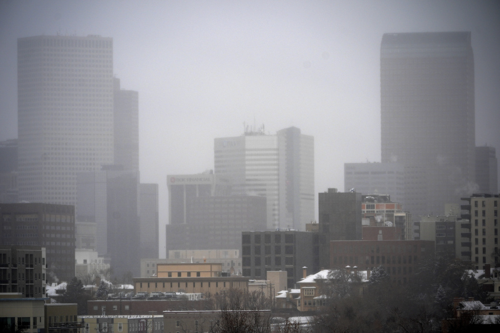
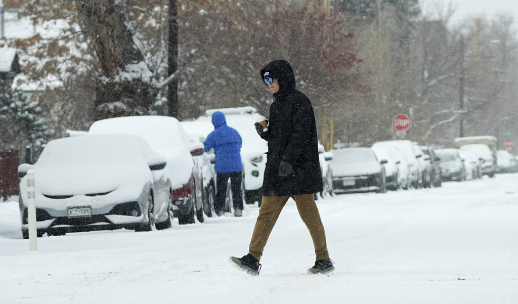
The Mid-Atlantic and Northeast regions will also feel the effects of the storm, with accumulating snow expected to create hazardous conditions. Snow will begin in the Mid-Atlantic on Sunday and spread to New York City and New England later that day.
Forecasts indicate the possibility of 2 to 8 inches (5 to 20 cm) of snow, with heavier bursts expected in some areas. “This is typical winter weather for the region, but it will create slick roads and potential travel delays,” Chenard explained.
Baltimore has already taken precautionary measures, canceling its annual Martin Luther King Jr. parade scheduled for Monday. Mayor Brandon Scott described the decision as “difficult but necessary” to ensure the safety of participants and spectators.
In Connecticut, Governor Ned Lamont activated the state’s severe cold weather protocol, effective Sunday evening through Friday. The protocol coordinates state and local efforts to provide shelter for vulnerable populations, including transportation to warming centers and 24-hour hotline services.
Travel Disruptions and Safety Concerns
With snow and ice covering vast portions of the country, travel is expected to be significantly impacted. The Gulf Coast, where snowplows and de-icing equipment are scarce, faces the most immediate risks of hazardous road conditions. Further north, highways and airports in the Midwest, Mid-Atlantic, and Northeast could experience significant delays and cancellations as snow piles up.
The National Weather Service has urged residents to limit unnecessary travel and prepare emergency kits with essentials such as food, water, blankets, and flashlights.
Emergency Measures and Warnings
Federal, state, and local governments are working to mitigate the storm’s impacts and protect residents. Among the measures:
- Louisiana: State of emergency declared ahead of the storm to address expected power outages and icy conditions.
- Connecticut: Severe cold weather protocol ensures coordination with shelters and community services to protect vulnerable residents.
- National Weather Service Alerts: Frequent updates on storm tracks, temperatures, and hazards for affected regions.
The Bigger Picture: Climate and Preparedness
The disruption in the polar vortex that brought this Arctic blast highlights the complex and interconnected nature of extreme weather patterns. While such events are not unprecedented, their frequency and intensity have raised questions about the role of climate change in altering weather systems.
For states in the South, the rare occurrence of snow and ice underscores the importance of emergency preparedness in areas unaccustomed to winter weather. Meanwhile, in regions like the Northern Plains, which regularly face Arctic conditions, the focus remains on protecting vulnerable populations from prolonged exposure to extreme cold.
Polar Vortex Brings Polar Vortex Brings


