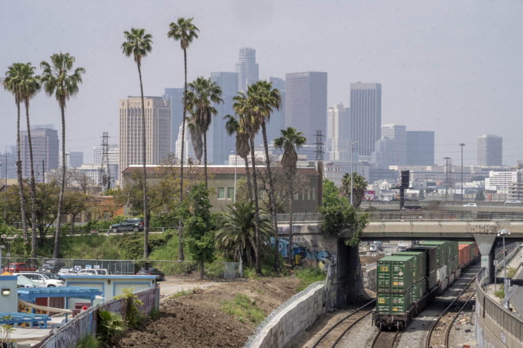
A light but widely felt earthquake shook Southern California on Friday. There were no immediate reports of damage to buildings, other infrastructure or injuries. The U.S. Geological Survey said the 10:55 a.m. quake, after several revisions, was a magnitude 4.2 and was centered about a mile (1 kilometer) northwest of Lytle Creek, in the San Gabriel Mountains about 45 miles (72 kilometers) east of downtown Los Angeles. The depth was put at about 5.5 miles (8.8 kilometers).
Quick Read
Key points from the recent earthquake in Southern California:
- A magnitude 4.2 earthquake shook Southern California on Friday, centered near Lytle Creek in the San Gabriel Mountains.
- The quake occurred at a depth of approximately 5.5 miles and was felt widely, including in downtown Los Angeles and Long Beach.
- There were no immediate reports of significant damage or injuries.
- The shaking was described as a hard boom followed by a tremor, causing minor incidents like a glass decoration and a jar of instant coffee falling in a local establishment.
- The Los Angeles Fire Department and San Bernardino County fire authorities reported no damage or quake-related calls for service.
- The earthquake happened in Cajon Pass, a region where the San Andreas and San Jacinto faults converge.
- ShakeAlert, the earthquake warning system, initially estimated the magnitude above 4.5, leading to alerts being sent to cellphones.
- The system aims to provide early warnings to help reduce injury and damage by allowing preventive actions.
The Associated Press has the story:
A magnitude 4.2 Earthquake shakes a wide area of Southern California
Newslooks- LOS ANGELES (AP) —
A light but widely felt earthquake shook Southern California on Friday. There were no immediate reports of damage to buildings, other infrastructure or injuries.
The U.S. Geological Survey said the 10:55 a.m. quake, after several revisions, was a magnitude 4.2 and was centered about a mile (1 kilometer) northwest of Lytle Creek, in the San Gabriel Mountains about 45 miles (72 kilometers) east of downtown Los Angeles. The depth was put at about 5.5 miles (8.8 kilometers).
A quake of such magnitude is typically not strong enough to cause significant damage.
Michael Guardado, who works at the front desk of the San Bernardino National Forest’s Lytle Creek Ranger Station, said the “building shook hard.”
Officials were working to determine the earthquake’s impact on the area and Guardado said he had heard that “a lot of rocks” had fallen onto Lytle Creek Road.
Cari Torguson, a bartender at Melody’s Place in Lytle Creek, said she felt “a hard boom and a shake” from the earthquake.
“It wasn’t very long but it was scary,” she told The Associated Press.
A decorative glass mushroom above the bar fell and broke, and a jar of instant coffee toppled off a shelf in the adjoining store, she said.
There were only a handful of people inside the building and no one had time to duck under a table, she said.
The quake was felt as a slight rocking in downtown Los Angeles. Shaking was also reported in several surrounding counties and cities, including the city of Long Beach, more than 50 miles (80 kilometers) southwest of Lytle Creek.
The Los Angeles Fire Department said there were no immediate reports of injuries or damage to buildings and other infrastructure within the city.
To the east of Los Angeles County, San Bernardino County fire authorities also said there were no damage reports or calls for service related to the quake.
The quake occurred in Cajon Pass, where the San Andreas and San Jacinto faults come together, veteran seismologist Lucy Jones said in a social media post. In 1970, there was a magnitude 5.2 quake with a 4.0 foreshock close to the same location, she said.
The earthquake warning system called ShakeAlert initially estimated the magnitude above 4.5, so alerts were sent to cellphones, the USGS said in a social media post.
The system is designed to detect a quake and almost instantly send alerts to areas where significant shaking is expected to arrive, giving people time to protect themselves, or slow down trains and buses.