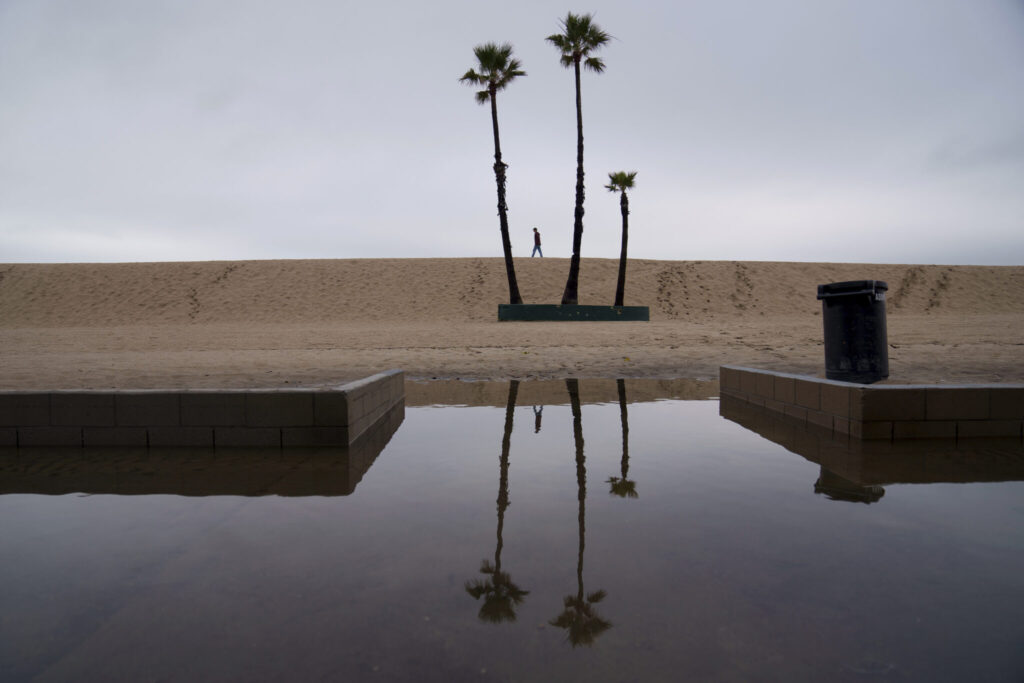
Bomb cyclone/ California storm/ Pacific Northwest weather/ atmospheric river/ flooding risk/ high winds/ severe weather forecast/ Newslooks/ SEATTLE/ J. Mansour/ Morning Edition/ A bomb cyclone is set to impact Northern California and the Pacific Northwest, bringing heavy rain, high winds, and snow through Friday. Flooding, power outages, and hazardous travel are expected, with particularly severe conditions in Oregon and Northern California.
‘Bomb Cyclone’ to Slam Northern California, Pacific Northwest With Flooding and High Winds
Key Points:
- Storm Overview:
- A powerful bomb cyclone fueled by an atmospheric river will affect the West Coast from Tuesday through Friday.
- The storm is expected to bring up to 8 inches of rain in some areas, along with high winds and snow in elevated regions.
- Regions at Risk:
- Northern California: Flood and high wind watches are in effect, with Sacramento Valley and Bay Area at risk of flash floods.
- Oregon: Rainfall could reach 10 inches in some areas, with high winds expected along the coast.
- Washington: Heavy rain and blizzard conditions are predicted for the Cascades.
- Impacts:
- Flash floods, power outages, hazardous travel, and tree damage are anticipated.
- A blizzard warning is in place for Washington’s Mount Rainier National Park.
Bomb Cyclone Threatens California, Pacific NW With Floods & Power Outages
Deep Look: Bomb Cyclone to Impact California and Pacific Northwest
What Is a Bomb Cyclone?
Meteorologists classify a storm as a bomb cyclone when it undergoes rapid intensification, dropping at least 24 millibars of pressure in 24 hours. This phenomenon often leads to extreme weather, as seen with the current system hitting the West Coast.
Storm Path and Affected Areas
The atmospheric river associated with this bomb cyclone is funneling a massive amount of moisture toward the Pacific Northwest and Northern California. Here’s what to expect:
- Northern California:
- Up to 8 inches of rain is forecast in the San Francisco Bay Area, North Coast, and Sacramento Valley.
- Wind gusts in mountain areas could reach 75 mph.
- The Sierra Nevada could see up to 15 inches of snow above 3,500 feet.
- Oregon:
- Southwestern coastal areas could receive up to 10 inches of rain.
- Winds along the central and northern Oregon coast could gust as high as 70 mph, leading to widespread power outages.
- Washington:
- Rainfall up to 1.5 inches is expected in coastal areas, with high winds forecast in southwest Washington.
- A blizzard warning for the Cascades includes up to a foot of snow and wind gusts of 60 mph, making travel dangerous.
Warnings and Emergency Preparedness
The National Weather Service has issued multiple warnings, including flood watches, high wind advisories, and blizzard warnings.
- Travel Cautions: Drivers in affected areas are urged to stay off roads if possible, particularly near coastal and mountainous regions.
- Power Outages: Strong winds are expected to knock down trees and power lines, causing outages across affected states.
- Evacuation Alerts: Residents in low-lying areas are encouraged to monitor flood alerts closely and prepare for potential evacuation.
Southern California and Gulf Coast Conditions
Southern California is largely escaping the brunt of the storm but faces heightened wildfire risks from Santa Ana winds. Rain is expected later in the week. The Gulf Coast, including the Florida Panhandle, is also forecast to receive 2 to 3 inches of rain on Tuesday, raising the risk of flash flooding in urban and low-lying areas.


