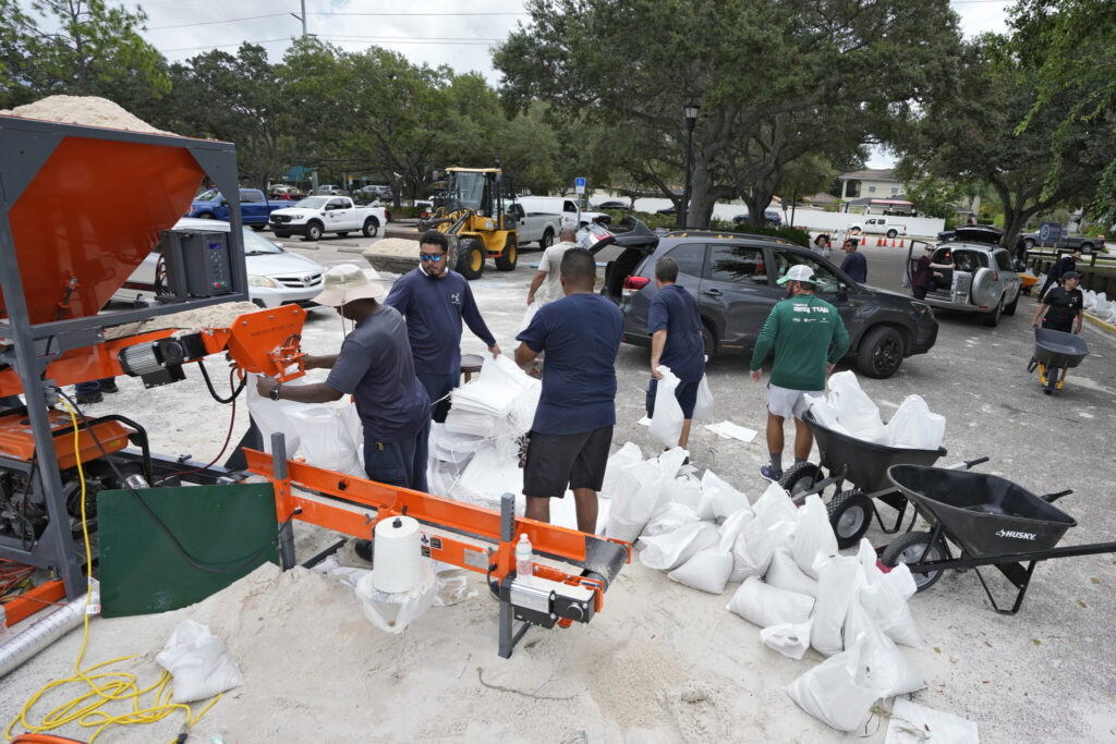
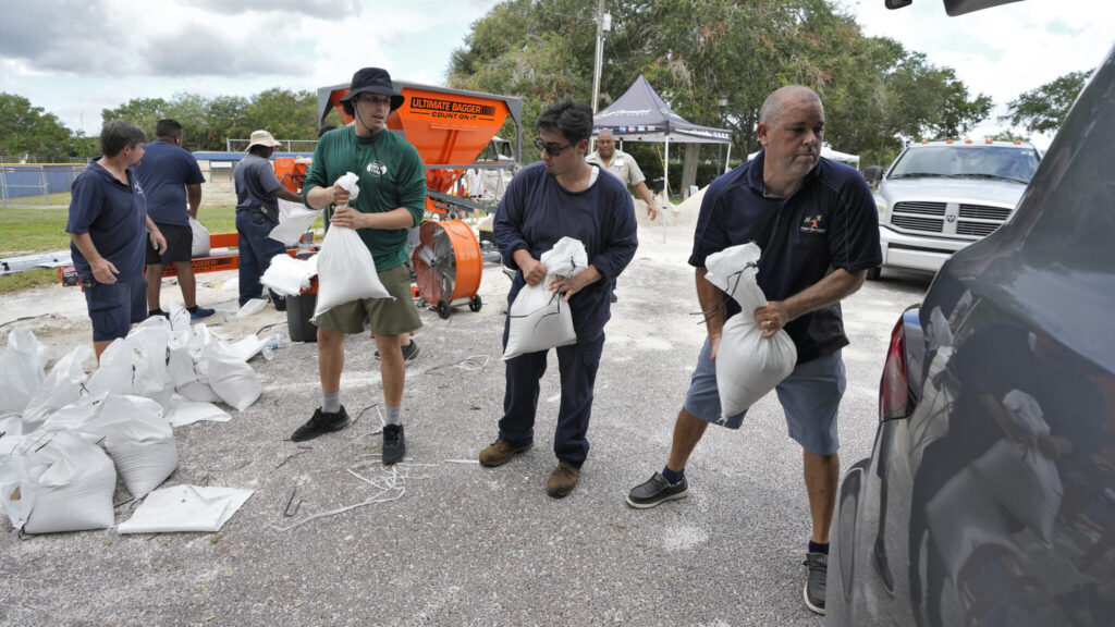
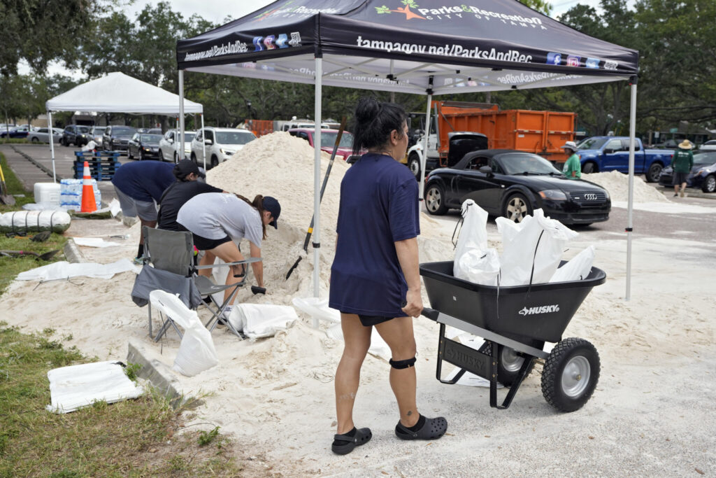
Florida residents loaded up on sandbags and evacuated from homes in low-lying areas Tuesday, less than a day before Hurricane Idalia was expected to barrel into the state with the threat of flooding that could swamp the Gulf Coast. The Associated Press has the story:
Idalia on track to make landfall as Cat. 3 Hurricane in Florida
Newslooks- TAMPA, Fla. (AP)
Florida residents loaded up on sandbags and evacuated from homes in low-lying areas Tuesday, less than a day before Hurricane Idalia was expected to barrel into the state with the threat of flooding that could swamp the Gulf Coast.
Idalia was churning in the Gulf of Mexico as a Category 1 storm, but it was projected to come ashore as a Category 3 system with sustained winds of up to 120 mph (193 kph) — a potentially big blow to a state still dealing with lingering damage from last year’s Hurricane Ian.
“You still have time this morning to make your final preparations … but you got to do that now,” Gov. Ron DeSantis announced at the state’s emergency operations center.

Tolls were waived on highways out of the danger area, shelters were open and hotels prepared to take in evacuees. More than 30,000 utility workers were gathering to make repairs as quickly as possible in the hurricane’s wake.
In Tarpon Springs, a coastal community northwest of Tampa, 60 patients were evacuated from a hospital out of concern that the system could bring a 7-foot (2.1 meters) storm surge.
“You do not have to leave the state. You don’t have to drive hundreds of miles. You have to get to higher ground in a safe structure. You can ride the storm out there, then go back to your home,” DeSantis said.
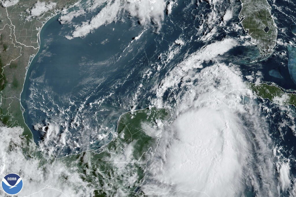
At 11 a.m. EDT Tuesday, Idalia was about 275 miles (440 kilometers) south-southwest of Tampa, with maximum sustained winds of 85 mph (140 kph), the National Hurricane Center said. It was moving north at 14 mph (22 kph).
The storm’s center will most likely hit a lightly populated area of the Gulf Coast known as the Big Bend before crossing the peninsula and drenching southern Georgia and the Carolinas on Thursday, forecasters said.
“Right now, the biggest hazards are storm surge,” Robbie Berg, a senior hurricane specialist at the hurricane center in Miami, said Tuesday. “We’re expecting a surge as much as 8 to 12 feet above normal tide levels in portions of the Big Bend area of Florida.”
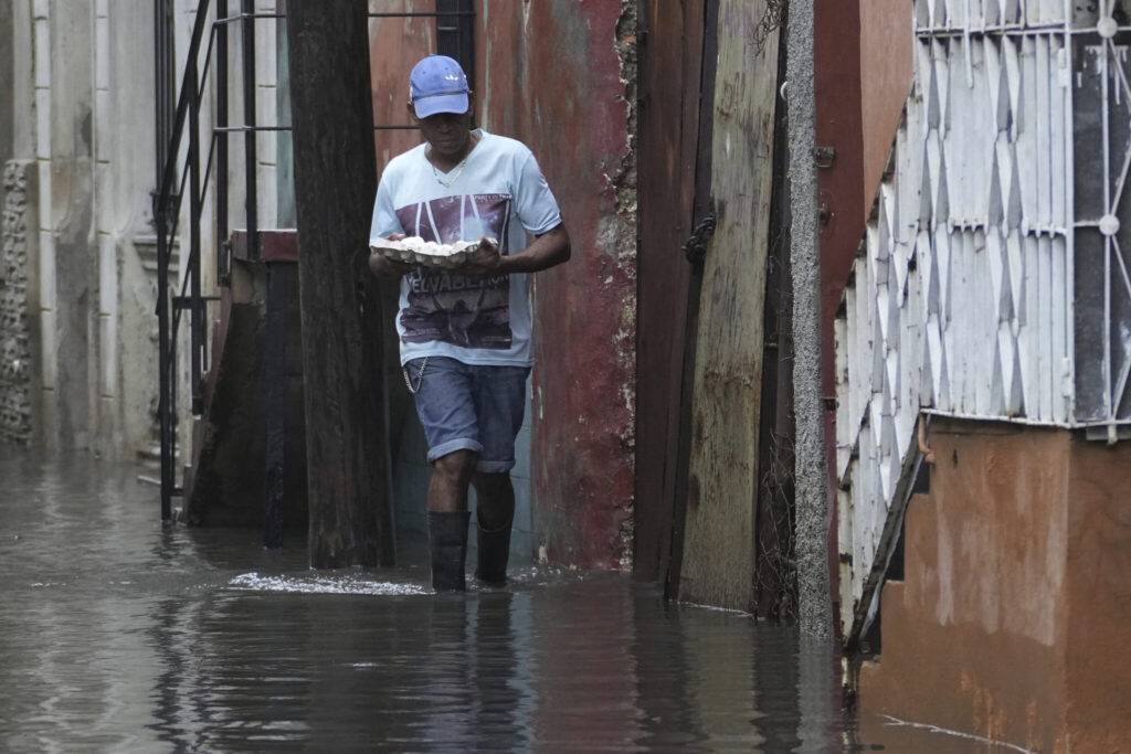
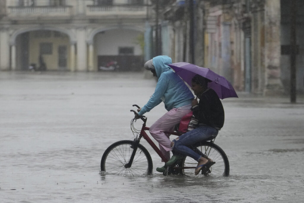
Idalia thrashed Cuba with heavy rain, especially in the westernmost part of the island, where the tobacco-producing province of Pinar del Rio is still recovering from Ian. More than 10,000 people evacuated to shelters or stayed with friends and relatives as up to 4 inches (10 centimeters) of rain fell. More than half of the province was without electricity.
Idalia will be the first storm to hit Florida this hurricane season, but it is only the latest in a summer of natural disasters, including wildfires in Hawaii, Canada and Greece; the first tropical storm to hit California in 84 years, and devastating flooding in Vermont.
St. Petersburg Mayor Ken Welch urged residents not to be complacent.
“It is my hope and prayer that you have your emergency plan in place, and you are executing that plan,” Welch said at a news conference. “Time is running short to make sure you are prepared for this storm.”
DeSantis declared a state of emergency in 46 counties, a broad swath that stretches across the northern half of the state from the Gulf Coast to the Atlantic Coast. The state mobilized 1,100 National Guard members, who have 2,400 high-water vehicles and 12 aircraft at their disposal for rescue and recovery efforts.
Tampa International Airport and St. Pete-Clearwater International Airport said they would close Tuesday, and the Sunrail commuter rail service in Orlando was being suspended. By mid-morning, the Tampa airport had almost 400 flight cancellations, according to the flight-tracking service FlightAware.
With a large stretch of Florida’s western coast at risk for storm surges and floods, evacuation notices were issued in 21 counties with mandatory orders for some people in eight of those counties. Many of the notices were for low-lying and coastal areas and for people living in mobile and manufactured homes, recreational vehicles or boats, and for people who would be vulnerable in a power outage.
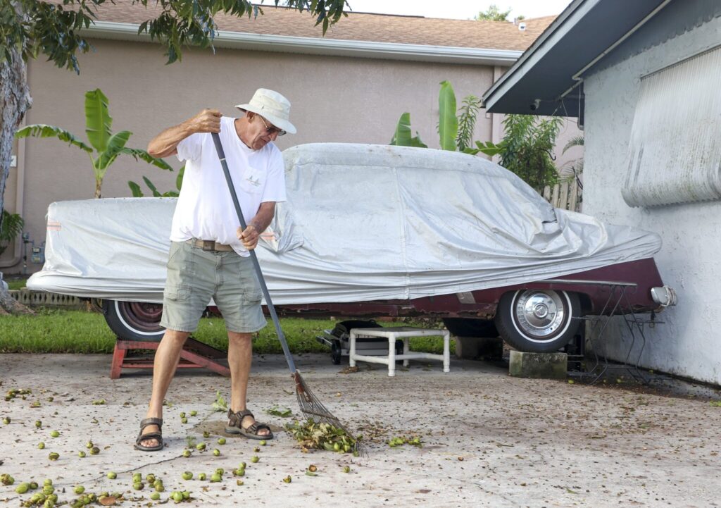
In Levy County, officials said residents of Cedar Key must be off the island by Tuesday evening because storm surges would make bridges impassable.
“Once the storm surge comes in, help may not be available to reach you,” the county said in a public advisory.
Many school districts along the Gulf Coast planned to be closed Tuesday and Wednesday. Several colleges and universities said they would close their campuses on Tuesday, including the University of Florida in Gainesville.
“They told us that our dorm building, especially, is prone to flooding,” said Erin Amiss, a student at Eckerd College in St. Petersburg.
MacDill Air Force Base on Tampa Bay prepared to send several aircraft to safer locations. The military also began a mandatory evacuation Monday for personnel who off the base, the Air Force said in a statement.
Ian was responsible last year for almost 150 deaths. The Category 5 hurricane damaged 52,000 structures, nearly 20,000 of which were destroyed or severely damaged.
The National Oceanic and Atmospheric Administration recently said the 2023 hurricane season would be far busier than initially forecast, partly because of extremely warm ocean temperatures. The season runs through Nov. 30, with August and September typically the peak.
Floridians viewed Idalia’s name with some concern since 13 Atlantic storm names beginning with “I” have been retired since 1955, according to the National Weather Service. That happens when a storm’s death toll or destruction is so severe that using its name again would be insensitive.
Another concern was the presence of a rare blue supermoon, which can cause higher-than-normal tides.

