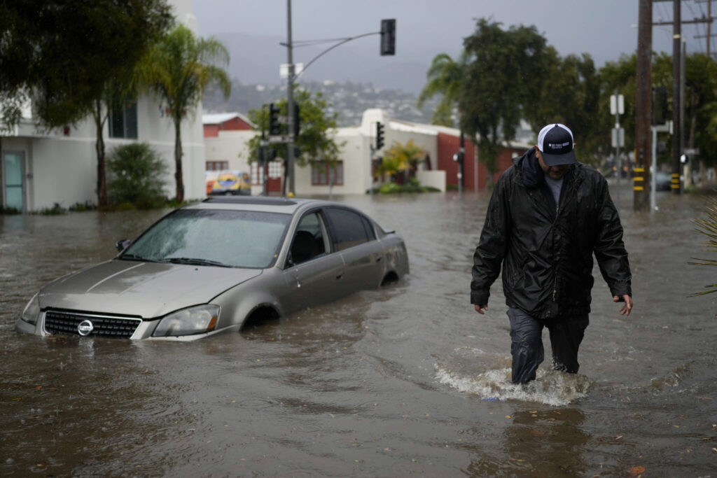
A Pacific storm that pounded coastal areas northwest of Los Angeles brought more heavy rain and scattered roadway flooding as it pushed through San Diego to the deserts on its way into Arizona early Friday. As millions scrambled to finish their holiday shopping or headed out onto highways, a wide swath of Southern California was expected to remain under a flood watch into the night before the region dries out in time for Christmas.
Quick Read
- Pacific Storm’s Impact on Southern California:
- Area Affected: Coastal areas northwest of Los Angeles, extending to San Diego.
- Result: Heavy rain, scattered roadway flooding.
- Progression: Moved from Los Angeles area to San Diego, heading towards Arizona.
- Flood Watch and Weather Forecast:
- Duration: Expected to continue into the night.
- Outlook: Region anticipated to dry out by Christmas.
- Intense Rainfall:
- Location: San Diego experienced a significant squall late Thursday.
- Measurements: Over half-inch of rain in Point Loma within 30-40 minutes.
- Storm’s Movement:
- Direction: From southwest of San Diego to near Yuma, Arizona.
- Impact: Extraordinary rainfall in Ventura and Santa Barbara Counties.
- Record Rainfall in Oxnard:
- Amount: 3.18 inches in one hour, exceeding December’s average rainfall.
- Statement: Described as potentially the heaviest downpour ever observed in the area.
- Business Impact in Santa Barbara:
- Perspective: Sven Dybdahl, local business owner.
- Relief: Timing of the storm’s arrival is after the peak holiday shopping season.
- Storm Characteristics:
- Type: “Cutoff low” – cut off from the general west-to-east flow.
- Duration: Lingers for days, leading to increased rainfall.
- Snowfall Conditions:
- Southern California Mountains: Little snow despite heavy rainfall.
- Winter Weather Advisories: Effective until early Saturday, minimal snow accumulation expected.
The Associated Press has the story:
Pacific storm that unleashed coastal flooding pushes across S. California into Arizona
Newslooks- LOS ANGELES (AP)
A Pacific storm that pounded coastal areas northwest of Los Angeles brought more heavy rain and scattered roadway flooding as it pushed through San Diego to the deserts on its way into Arizona early Friday.
As millions scrambled to finish their holiday shopping or headed out onto highways, a wide swath of Southern California was expected to remain under a flood watch into the night before the region dries out in time for Christmas.
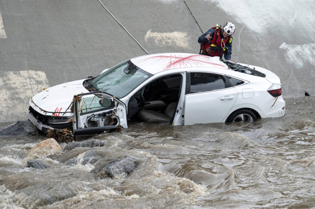
After slowly moving down the coast during the week, the brunt of the storm reached San Diego late Thursday. Just before midnight, a squall with gusts up to 55 mph (88.5 kph) dumped more than a half-inch (1.5 centimeters) of rain at Point Loma in 30 to 40 minutes, the National Weather Service said.
Rain also began arriving in southwest Arizona. The weather service’s Flagstaff office said the center of the low-pressure system was expected to move from southwest of San Diego to near Yuma by evening.
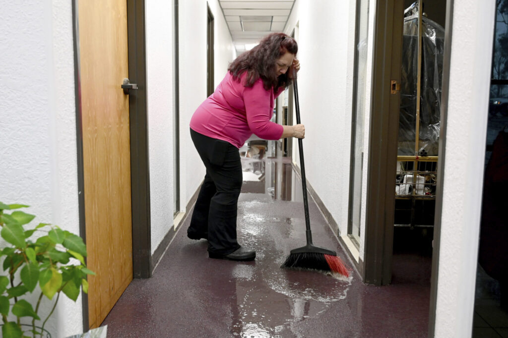
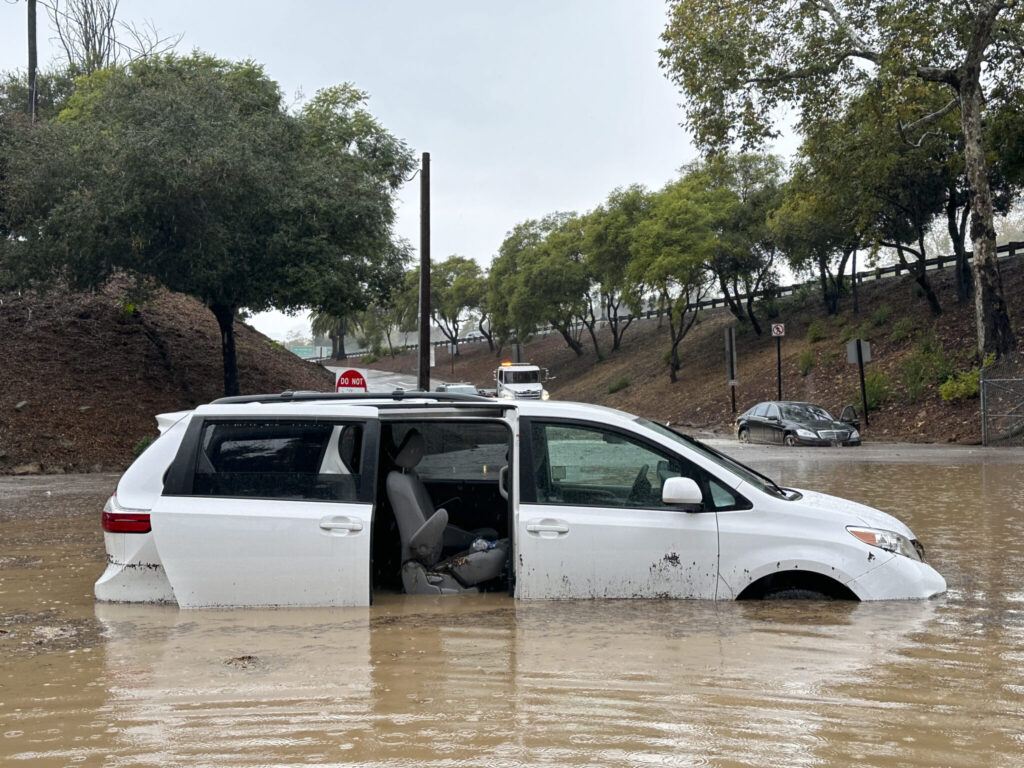
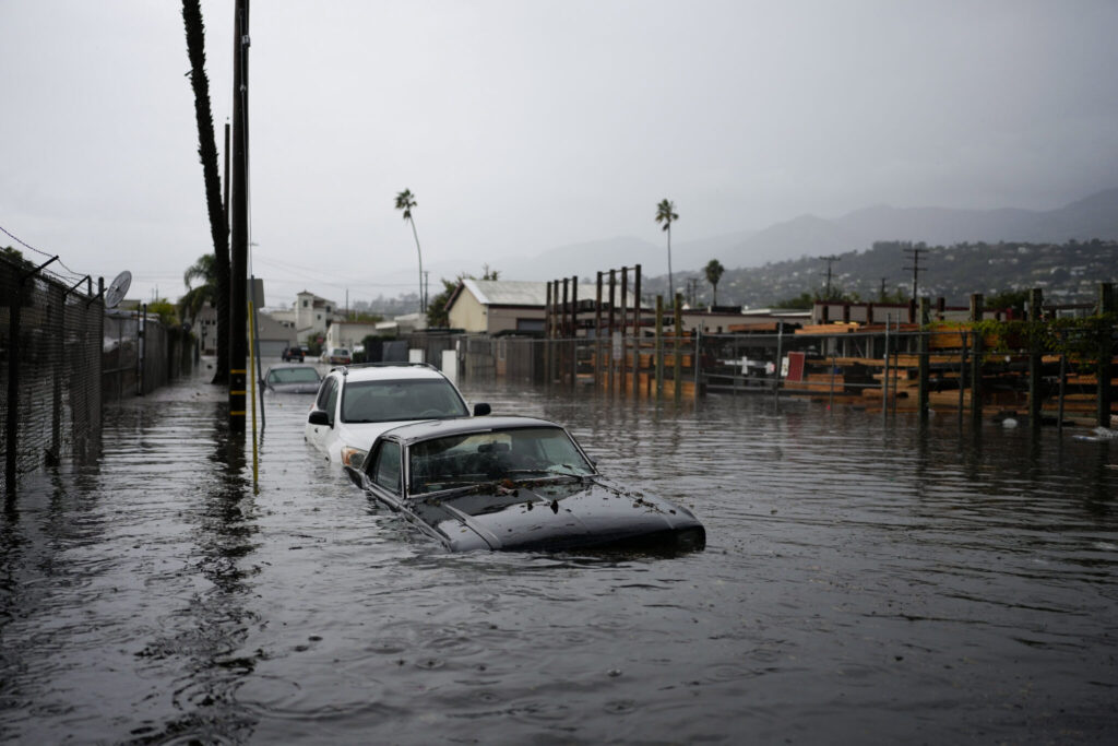
On Thursday, the storm unleashed extraordinary rainfall on coastal counties northwest of Los Angeles, flooding homes and stranding motorists on streets inundated with water.
Downpours swamped areas in the Ventura County cities of Port Hueneme and Oxnard, and about 35 miles (56 kilometers) up the coast in Santa Barbara County.
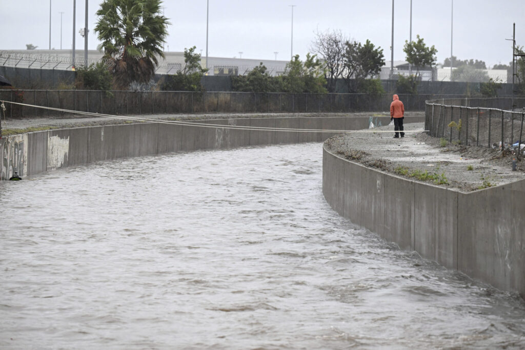
Between midnight and 1 a.m., the storm dumped 3.18 inches (8 centimeters) of rainfall in downtown Oxnard, surpassing the area’s average of 2.56 inches (6.5 centimeters) for the entire month of December, according to the National Weather Service.
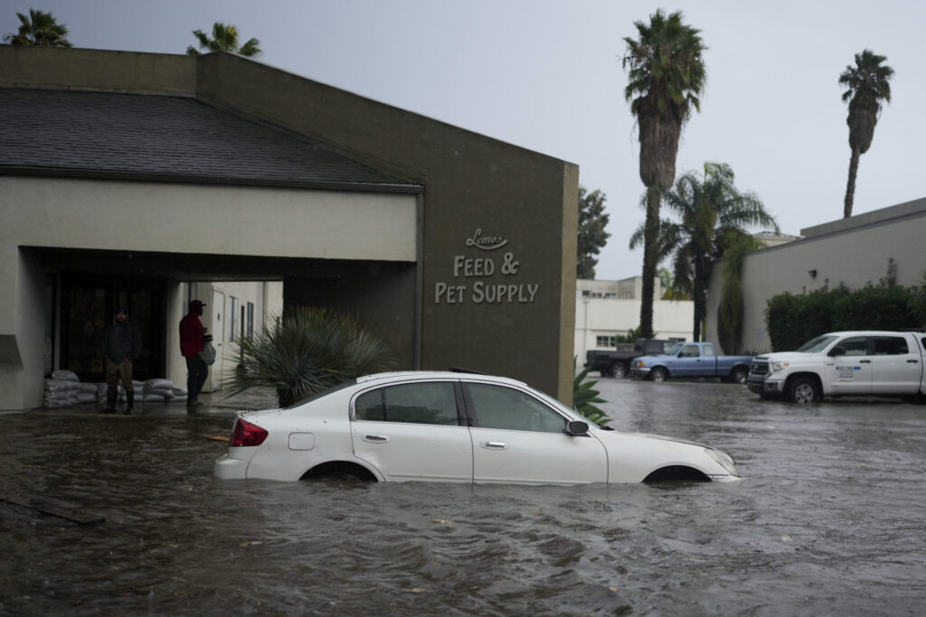
“This is a genuinely dramatic storm,” climate scientist Daniel Swain, of the University of California, Los Angeles, said in an online briefing. “In Oxnard, particularly, overnight there were downpours that preliminary data suggests were probably the heaviest downpours ever observed in that part of Southern California.”
Sven Dybdahl, owner of olive oil and vinegar store Viva Oliva in downtown Santa Barbara, said he was grateful that the weather came at the tail end of the holiday shopping season, otherwise he’d be worried about his store’s bottom line.
“It will have an impact, but thankfully it’s happening quite late,” he said.
The storm swept through Northern California earlier in the week as the center of the low-pressure system slowly moved south off the coast. Forecasters described it as a “cutoff low,” a storm that is cut off from the general west-to-east flow and can linger for days, increasing the amount of rainfall.

Despite the storm’s prolific precipitation, it brought little snow to Southern California’s mountains, a condition also being experienced elsewhere in the country.
Winter weather advisories were to remain in effect until 4 a.m. Saturday but forecasters said there would be little, if any, accumulation below 7,500-foot (2,286-meter) elevations.

