Severe Weather Threatens Midwest & South With Tornadoes, Flash Floods/ Newslooks/ WASHINGTON/ J. Mansour/ Morning Edition/ Forecasters warn of catastrophic flooding and strong tornadoes across the Midwest and South. Multiple states face prolonged storms with high winds, large hail, and potential EF3+ tornadoes. Historic rainfall could cause life-threatening flash floods through Saturday.

Tornado and Flood Threat Quick Looks
- Flash flooding, EF3+ tornadoes forecast from Texas to Illinois
- “Once-in-a-lifetime” rainfall totals expected through Saturday
- More than 90 million people at risk of severe weather
- Tornadoes already spotted in Kansas, warnings active in Missouri
- High-risk zone includes Memphis, Little Rock, and western Kentucky
- Winds up to 50 mph predicted across affected regions
- Michigan hit by ice storm; power outages ongoing
- Sleet, freezing rain, and snow expected in Upper Midwest

Severe Weather Threatens Midwest & South With Tornadoes, Flash Floods
Deep Look
Midwest and South Face ‘Once-in-a-Lifetime’ Floods, Tornado Outbreaks
A powerful and long-lasting storm system is threatening parts of the Midwest and South with life-threatening flash flooding, large tornadoes, and damaging hail, as forecasters issue some of their most dire warnings in years.
On Wednesday, tornado warnings were already active near Joplin and Columbia, Missouri, as the atmosphere across the central U.S. began to destabilize. The real danger, however, is expected to unfold later in the day and through the week, as a mix of warm, moist air from the Gulf and strong wind shear could fuel severe thunderstorms with the potential to become supercells—capable of producing long-track, high-intensity tornadoes and excessive rainfall.
According to the National Weather Service (NWS), the region could face “significant, life-threatening flash flooding” starting Wednesday and continuing into the weekend. Rainfall totals in some areas could exceed one foot (30 centimeters), prompting officials to classify the situation as a “once-in-a-generation to once-in-a-lifetime” weather event.
Relentless Rain and Flash Flood Risks
Meteorologists warn that parts of Texas, the lower Mississippi Valley, and the Ohio Valley could see storms repeatedly track over the same locations, dumping heavy rain for hours. This repetition could result in flash floods capable of sweeping away vehicles and inundating communities.
Particularly vulnerable areas include northeastern Arkansas, southeastern Missouri, western Kentucky, and southern sections of Illinois and Indiana, where up to 15 inches (38 centimeters) of rain could fall over seven days.
“We’re potentially looking at about two months of rain in just a handful of days,” said Thomas Jones, a weather service meteorologist in Little Rock.
Tornadoes Already Touch Down, More on the Way
At least one tornado touched down Tuesday night in Kansas, prompting emergency alerts. Fortunately, no injuries were reported. Missouri also saw tornado warnings Wednesday morning, though no immediate damage was confirmed. Winds as high as 50 mph (80 kph) are also expected to sweep across the region, increasing the risk of power outages and structural damage.
About 2.5 million people are under a rare “high-risk” alert from the Storm Prediction Center—a designation used sparingly for the most severe and potentially catastrophic weather events. This zone includes parts of northeast Arkansas, west Tennessee (including Memphis), southeastern Missouri, and portions of western Kentucky and southern Illinois.
The center warned that a tornado outbreak is expected Wednesday, with “multiple long-track EF3+ tornadoes” likely—these are tornadoes capable of producing devastating damage with winds exceeding 136 mph (219 kph).
Millions at Risk Across the Nation
In total, over 90 million Americans—from Texas to Minnesota to Maine—are at some risk for severe weather this week. Cities such as Chicago, Indianapolis, St. Louis, Louisville, and Little Rock face elevated but slightly lower risks. Major metro areas like Dallas, Detroit, Milwaukee, and Nashville also fall within the extended impact zone.
Winter Weather Adds to the Crisis in the North
Meanwhile, the Upper Midwest continues grappling with the aftermath of a weekend ice storm. In Michigan, more than 135,000 customers remained without power Wednesday morning, alongside 11,000 in northern Wisconsin, according to PowerOutage.us.
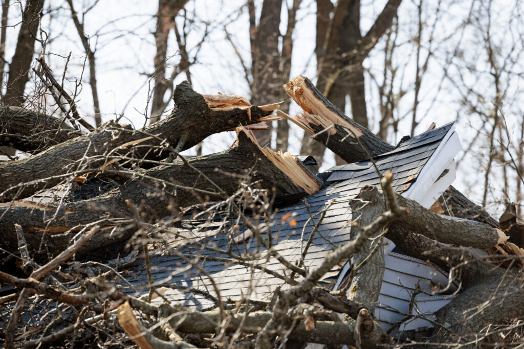
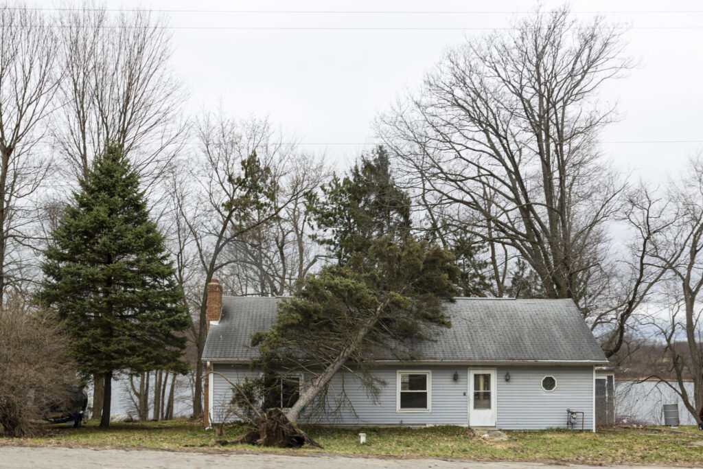
The storm left many schools closed and roads blocked across Michigan’s Lower Peninsula. Emergency crews have been working around the clock to clear fallen trees and power lines. Additional winter weather, including sleet and freezing rain, could make conditions even more treacherous through Wednesday.
To the west, parts of the eastern Dakotas and Minnesota are bracing for heavy, wet snow, further compounding the region’s challenges.
A Dangerous Weather Week Ahead
With extreme weather events overlapping across much of the country—from tornado threats in the South to ice storms in the North—forecasters are urging residents to remain alert, heed warnings, and have emergency plans in place.


You must Register or Login to post a comment.