Snow, rain and gusting winds lashed large swaths of the Central U.S. on Monday, dashing spring hopes, as the South braced for thunderstorms and possible tornadoes and as the risk of wildfires in southern Texas reached critical levels. Warnings or advisories for blizzard or winter storm conditions covered much of Minnesota and parts of Wisconsin, upper Michigan, the Dakotas, Nebraska, Kansas, Colorado, New Mexico and Texas.
Quick Read
- Severe Weather Across the U.S.: A powerful storm brought snow, rain, and gusty winds to the Central U.S., with the South facing potential thunderstorms and tornadoes, and critical wildfire risks in southern Texas.
- Northeast Recovery: The Northeast, particularly Maine, is still recovering from a previous storm that left tens of thousands without power due to thick ice coatings.
- Spring Weather Disrupted: Despite spring expectations, the Central U.S. from the Dakotas to the Gulf Coast experienced winter conditions, including strong winds, sleet, freezing rain, and snow.
- Blizzard and Storm Warnings: Warnings for blizzard or winter storm conditions affected multiple states, with fast snowfall rates in parts of Minnesota and Wisconsin.
- Severe Thunderstorms and Tornado Threats: East Texas and the Lower Mississippi Valley were under threat for severe thunderstorms and tornadoes, with some areas already experiencing damaging storms.
- Traffic and Road Conditions: Snowfall led to numerous crashes and at least one fatality, with treacherous road conditions reported in states like South Dakota and Nebraska, resulting in closures on major interstates.
- Power Outages in the Northeast: The weekend storm caused extensive power outages across the Northeast, with utility crews working to restore electricity to affected residents.
- Weather Outlook: While the immediate weather poses challenges, there are no extreme cold temperatures or flooding threats in the forecast, providing some relief to utility workers and affected areas.
The Associated Press has the story:
Storm threatens snow in Midwest, thunder in South. Other parts of US dig out
Newslooks- (AP)
Snow, rain and gusting winds lashed large swaths of the Central U.S. on Monday, dashing spring hopes, as the South braced for thunderstorms and possible tornadoes and as the risk of wildfires in southern Texas reached critical levels.
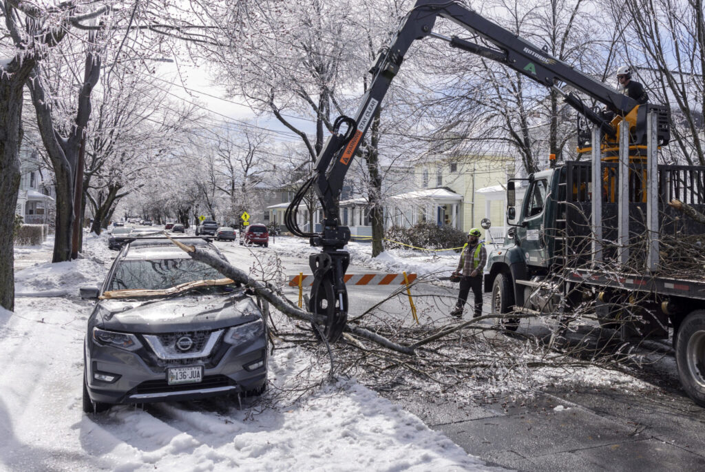
The storm hit with parts of the country still in recovery mode from their own severe weather, particularly in the Northeast. Tens of thousands of people still lacked power in Maine, where a storm coated parts of the state in thick ice.
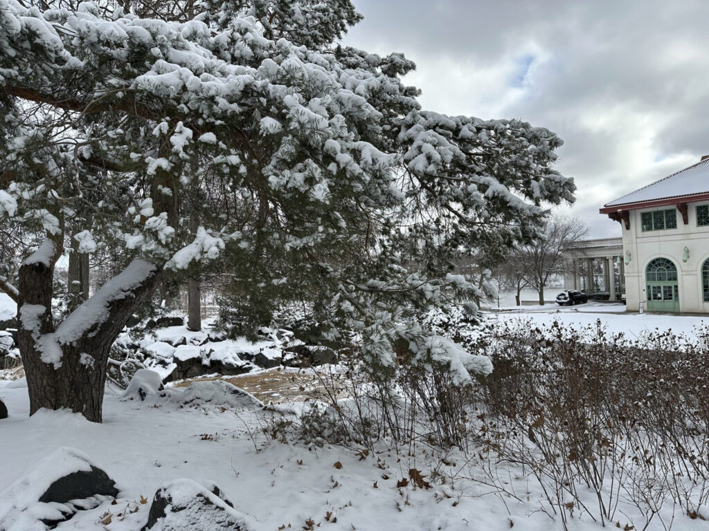
The new storm was expected to bring strong winds, sleet, freezing rain and snow to a broad swath from the Dakotas to the Gulf Coast through Tuesday.
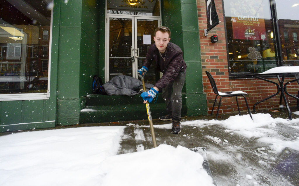
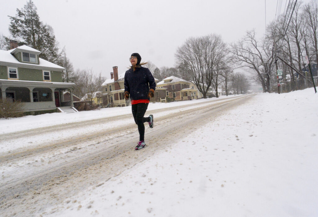
“A lot of people get excited because they think the spring is coming in and the winter’s over, but since I’ve been little, every time there’s that one last snowstorm that we always get, and here it is,” said Jarvis Smith, of Golden Valley, Minnesota, as she shoveled snow.
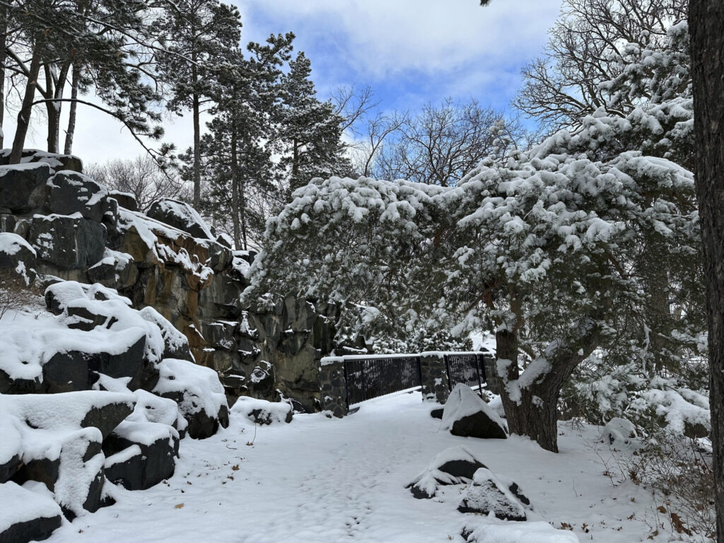
Warnings or advisories for blizzard or winter storm conditions covered much of Minnesota and parts of Wisconsin, upper Michigan, the Dakotas, Nebraska, Kansas, Colorado, New Mexico and Texas.
In northern parts of Minnesota and Wisconsin, snow could fall as fast as 2 inches (5 centimeters) per hour, the National Weather Service said.
Wind warnings or advisories stretched from Iowa to Appalachia and down to the Gulf Coast. Severe thunderstorms with a threat for tornadoes and other damaging winds were possible in east Texas and the Lower Mississippi Valley. Strong storms, some producing tornado warnings, had already made their way through parts of Oklahoma and Texas on Sunday night.
The new storm was largely expected to spare the Twin Cities area, which was socked Sunday by heavy snow. The state patrol reported about 400 crashes since Sunday that injured over 20 people and killed at least one.
The snow turned into rain early Monday in Minneapolis, making for a slushy morning commute. Nearly all schools in the Twin Cities were closed, and almost three dozen flights were canceled at Minneapolis-St. Paul International Airport.
In South Dakota, traffic moved slowly overnight along a section of Interstate 29 where trucks struggled to make it up a slick hill. Conditions remained slippery in the eastern third of the state, but no fatal accidents were reported.
“I think they (drivers) are accustomed to it,” said Brad Reiners, of the South Dakota Department of Public Safety, crediting warnings ahead of the blast. “They took heed pretty well.”
Road conditions were treacherous throughout central Nebraska, where up to 8 inches of snow was expected through Tuesday. Several inches of snow had already fallen by midday Monday. A long stretch of Interstate 80 was closed in both directions.
Weather officials in south Texas warned of gusty, dry conditions that could rapidly spread any fires.
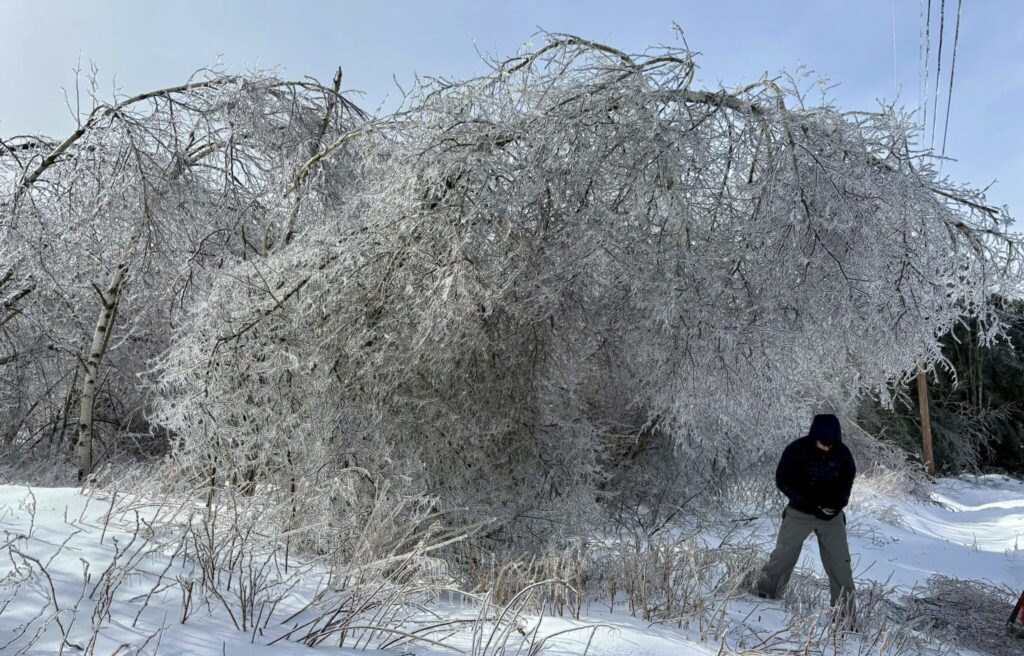
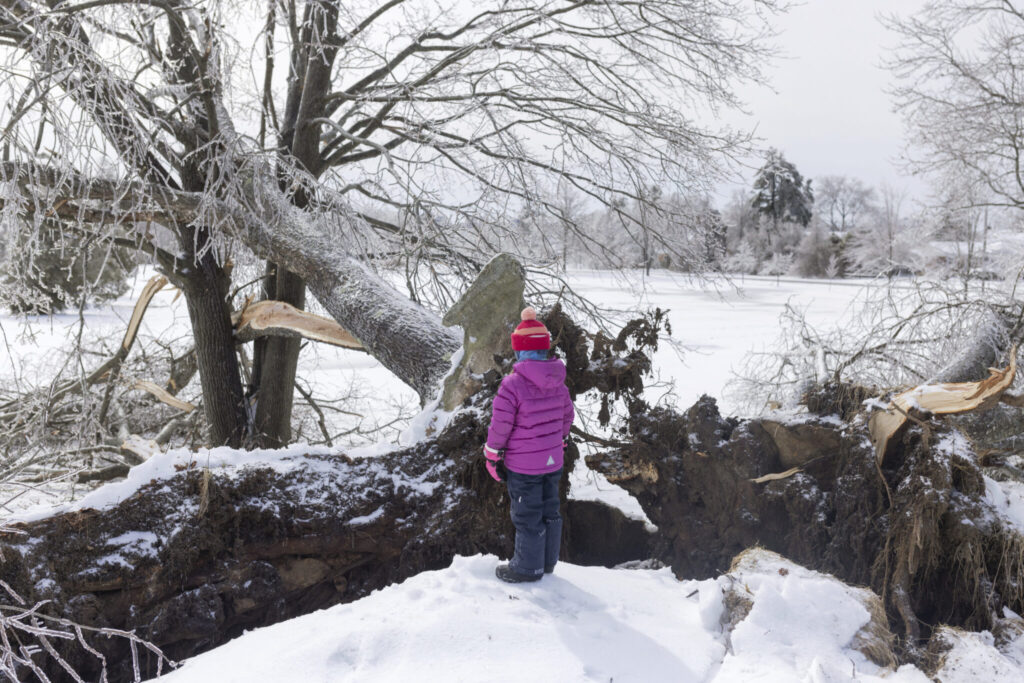
Parts of the Northeast got slammed over the weekend, too. Vermont, New Hampshire and most of Maine got buried in snow that measured more than 2 feet (0.6 meters) in some areas, toppling trees and causing car crashes. Tens of thousands of people from Maine to New York remained without power early Monday.
Repair crews in Maine had succeeded in cutting outages from 200,000 over the weekend to less than 100,000 Monday morning.
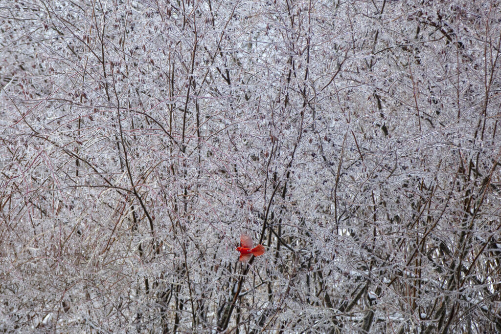
Nearly three-quarters of an inch of ice was recorded at Portland’s airport, said Justin Arnott, of the National Weather Service in Gray, Maine. But the weather outlook was good for utility workers, with no bitter cold in the forecast and no fast melt that could threaten flooding.
Areas farther inland got fluffy snow coveted by skiers. Bryant Pond, Maine, recorded 25 inches, and Pinkham Notch, New Hampshire, had just shy of 30 inches, Arnott said.
Snow also fell Sunday night over parts of northern Arizona, the Grand Canyon and Flagstaff.
Heavy rain and quarter-size hail fell in Southern California on Sunday. A 35-year-old woman was rescued after being swept away in the storm-swollen Los Angeles River, fire officials said. She was airlifted to a hospital with minor injuries and hypothermia.


