Tropical Storm Alberto formed on Wednesday in the southwestern Gulf of Mexico, the first named storm of what is forecast to be a busy hurricane season. Alberto was located 185 miles (about 300 kilometers) east of Tampico, Mexico and 295 miles (about 480 kilometers) south-southeast of Brownsville, Texas. It had top sustained winds of 40 mph (65 kph), according to the National Hurricane Center in Miami. A tropical storm is defined by sustained winds of between 39 and 73 mph (62 and 117 kph), and above that the system becomes a hurricane.
Quick Read
- Tropical Storm Alberto, the first named storm of the hurricane season, formed in the southwestern Gulf of Mexico on Wednesday.
- Alberto is located 185 miles east of Tampico, Mexico, and 295 miles south-southeast of Brownsville, Texas, with top sustained winds of 40 mph.
- The storm is moving west at 9 mph, with tropical storm warnings in effect from San Luis Pass, Texas, to the mouth of the Rio Grande and from the northeastern coast of Mexico to Tecolutla.
- Alberto is expected to slightly strengthen before making landfall on Thursday and then rapidly weaken and dissipate over Mexico.
- Rainfall totals of 5 to 10 inches are expected across northeast Mexico and South Texas, with up to 20 inches possible in the higher terrain of Coahuila, Nuevo Leon, and Tamaulipas, potentially causing flash flooding and mudslides.
- The main hazard for southern coastal Texas is flooding, with a high probability of flash flooding and possible tornadoes or waterspouts.
- The National Oceanic and Atmospheric Administration predicts an above-average hurricane season with 17 to 25 named storms, including up to 13 hurricanes and four major hurricanes.
- An earlier unnamed storm in June caused significant flooding in South Florida, with over 20 inches of rain.
The Associated Press has the story:
Tropical Storm Alberto forms in southwest Gulf, 1st named storm of the hurricane season
Newslooks- MIAMI (AP) —
Tropical Storm Alberto formed on Wednesday in the southwestern Gulf of Mexico, the first named storm of what is forecast to be a busy hurricane season.
Alberto was located 185 miles (about 300 kilometers) east of Tampico, Mexico and 295 miles (about 480 kilometers) south-southeast of Brownsville, Texas. It had top sustained winds of 40 mph (65 kph), according to the National Hurricane Center in Miami. A tropical storm is defined by sustained winds of between 39 and 73 mph (62 and 117 kph), and above that the system becomes a hurricane.

The storm was moving west at 9 mph (15 kph). Tropical storm warnings were in effect from the Texas coast at San Luis Pass southward to the mouth of the Rio Grande and from the northeastern coast of Mexico south of the mouth of the Rio Grande to Tecolutla. Some slight strengthening is forecast for Wednesday before the center of Alberto reaches land on Thursday, the center said.
“Rapid weakening is expected once the center moves inland, and Alberto is likely to dissipate over Mexico” on Thursday, the center said.
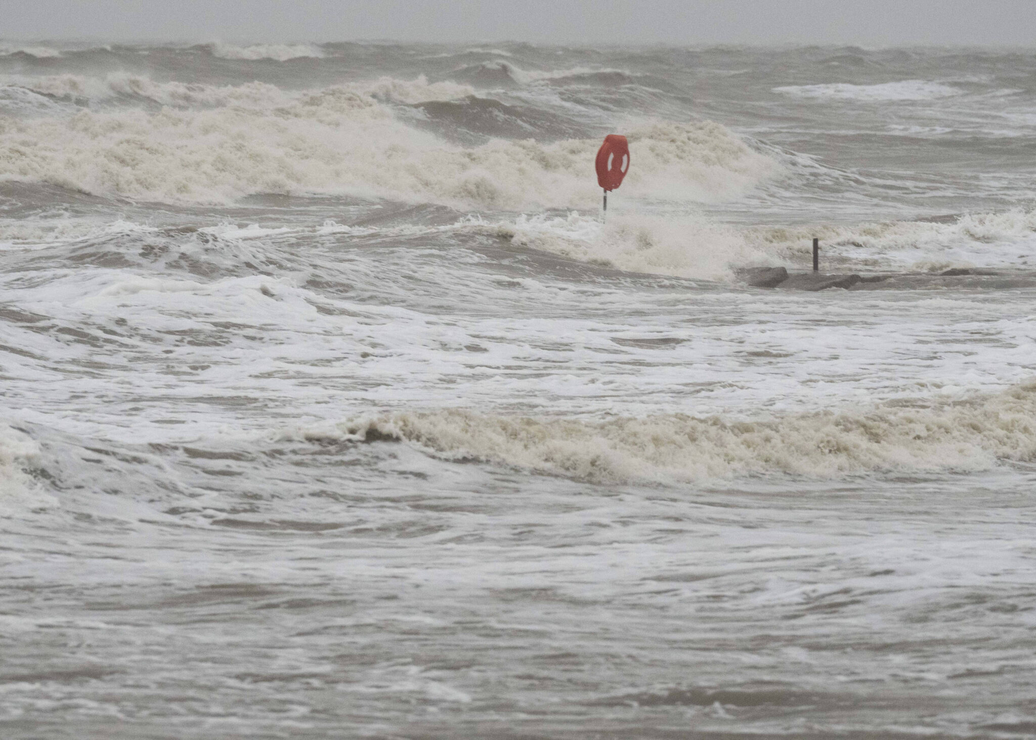
The storm is expected to produce rainfall totals of 5 to 10 inches (about 13 to 25 centimeters) across northeast Mexico into South Texas. Maximum totals around 20 inches (51 centimeters) are possible across the higher terrain of the Mexican states of Coahuila, Nuevo Leon, and Tamaulipas. Flash flooding is likely, and mudslides are possible in some areas, the center said.
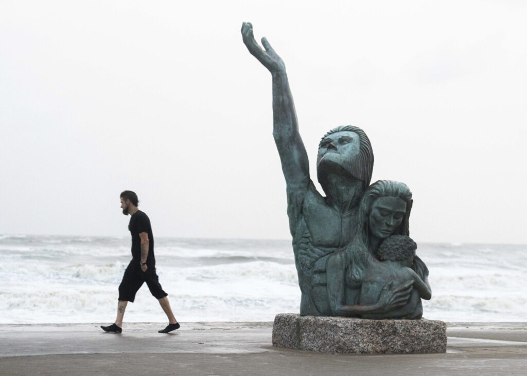
The U.S. National Weather Service said the main hazard for southern coastal Texas is flooding from excess rain. Eight inches (20 centimeters) of rain or more could fall by Saturday morning. On Wednesday, the NWS said, there is “a high probability” of flash flooding in southern coastal Texas. Tornadoes or waterspouts are possible.

The National Oceanic and Atmospheric Administration predicts the hurricane season that began June 1 and runs through Nov. 30 is likely to be well above average, with between 17 and 25 named storms. The forecast calls for as many as 13 hurricanes and four major hurricanes.
An average Atlantic hurricane season produces 14 named storms, seven of them hurricanes and three major hurricanes.
A no-name storm earlier in June dumped more than 20 inches (50 centimeters) of rain on parts of South Florida, stranding numerous motorists on flooded streets and pushing water into some homes in low-lying areas.